


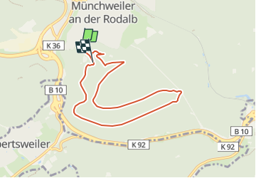

13,3 km | 19,1 km-effort

Tous les sentiers balisés d’Europe GUIDE+


Aplicación GPS de excursión GRATIS
 SityTrail
IGN / Institutos geográficos
SityTrail World
El mundo es suyo
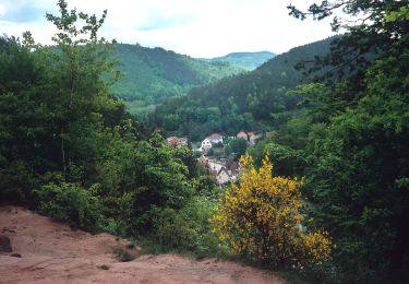
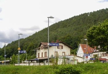
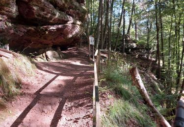
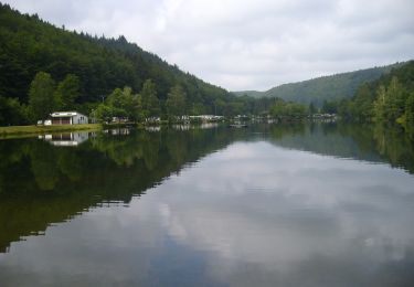
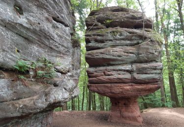
Ruta A pie de 7,3 km a descubrir en Renania-Palatinado, Südwestpfalz, Münchweiler an der Rodalb. Esta ruta ha sido propuesta por SityTrail - itinéraires balisés pédestres.
Trail created by Pfälzerwaldverein Münchweiler.
Symbol: Schwarze 7 auf weißem Grund


A pie
A pie
A pie
A pie
A pie
A pie
Senderismo
A pie
Senderismo